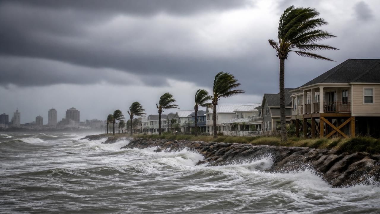
Hurricane Isaias became the first Atlantic hurricane of the 2026 season this week, and it did not stay modest for long. What began as a tropical storm with 80 mph winds and a minimum central pressure of 975 millibars has rapidly intensified into a major Category 3 hurricane, according to the National Oceanic and Atmospheric Administration, and is now tracking toward the northern Gulf Coast of the United States with an expected landfall on Friday.
The storm's evolution has been unusually swift. Forecasters initially projected Isaias would top out as a Category 2 system as it approached the coast. Instead, it strengthened to a strong Category 2 with 105-mph winds before crossing the threshold into Category 3 territory, a designation reserved for storms with sustained winds of at least 111 mph.
"Isaias has become the first Atlantic hurricane of the 2026 season, with wind speeds of 80mph and a minimum pressure of 975mb. It is expected to strengthen to a category 2 hurricane as it approaches the US's northern Gulf coast on Friday." — National Oceanic and Atmospheric Administration
From Tropical Storm to Major Hurricane
The storm's rapid intensification caught the attention of forecasters and emergency managers alike. Local outlets along the Gulf were among the first to flag the upgrade, with WBRZ in Baton Rouge issuing a blunt breaking-news alert: "Isaias now a major category three hurricane." NBC News ran live coverage as the system strengthened, while the Associated Press described it as "a dangerous Category 3 hurricane on track toward the US Gulf Coast."
Key facts as of the latest advisories:
- Maximum sustained winds: 105–115+ mph, placing Isaias at Category 2 to Category 3 strength
- Minimum central pressure: 975 mb at hurricane designation, falling as the storm deepened
- Expected landfall: Friday, along the northern Gulf Coast
- Primary hazards: flash flooding and isolated river flooding, in addition to wind and storm surge
- Status: first hurricane — and first major hurricane — of the 2026 Atlantic season
A Historically Late First Hurricane
What makes Isaias remarkable is not just its strength but its timing. The first hurricane of an Atlantic season has not formed this late since October 8, 1905 — a date that predates the satellite era of hurricane tracking, which began in the 1960s and has allowed forecasters to detect many storms that never threaten land.
The Guardian noted that Isaias's late arrival is a product of a notably quiet Atlantic hurricane season, which it attributed in part to a strong El Niño. El Niño conditions typically increase wind shear across the tropical Atlantic, tearing apart the convective structures that storms need to organize and intensify. The result has been a season that, until now, has produced named storms but no hurricanes — an unusual distinction given the busy seasons of recent years.
El Niño and the Quiet Atlantic
Meteorologists have been puzzling over the season's sluggishness for months. The strong El Niño pattern suppressed development through the peak of the season, defying preseason forecasts that had called for above-average activity. Several outlets, including Yahoo and NJ.com, framed Isaias's formation as the answer to a persistent question: where were all the hurricanes?
The answer, climatologists say, lies in the interplay between ocean temperatures, atmospheric stability, and shear. Even in a quiet season, a single favorable window — warm Gulf waters, low shear, and a moist environment — can allow a storm to intensify quickly. Isaias appears to have found exactly that window as it moved into the Gulf of Mexico.
Gulf Coast Braces for Impact
As the storm gained strength, authorities along the northern Gulf Coast moved quickly. The Sun reported that fears over the first Atlantic hurricane of the season prompted a state of emergency declaration for at least one US state. Emergency management agencies have urged residents in low-lying areas to prepare for flash flooding, isolated river flooding, and the possibility of evacuation orders if the track shifts.
Local broadcasters, including WHAS11, FOX40, and WB TW, have been running continuous coverage of the latest track and live radar, while the Statesman asked the question many coastal residents are asking: "Where is Isaias headed?"
Energy Industry Shuts Down Production
The storm's path through the Gulf has triggered significant consequences for the region's energy infrastructure. KVOR reported that the first Atlantic hurricane of 2026 has already triggered Gulf Coast energy shut-downs, as offshore operators began evacuating platforms and halting production ahead of the storm's arrival. The Gulf of Mexico accounts for a substantial share of US crude oil and natural gas output, and even a short-lived disruption can ripple through regional fuel markets.
The Insurer also flagged the storm's trajectory toward the Gulf Coast, a reminder that the insurance industry is watching closely after several years of costly hurricane losses.
How Different Outlets Framed the Story
Coverage of Isaias has varied sharply by outlet and audience:
- Climatological angle: The Guardian emphasized the historic lateness of the season's first hurricane, tying it to El Niño and the pre-satellite record books.
- Public safety angle: AP, NBC News, and local Louisiana and Texas stations focused on the Category 3 upgrade, landfall timing, and flood risk.
- Energy and business angle: KVOR and The Insurer highlighted offshore production shutdowns and the storm's market implications.
- Emergency response angle: The Sun led with the state of emergency declaration, while MSN aggregation hubs tracked the storm's strengthening in real time.
The diversity of framing reflects the storm's broad reach: Isaias is simultaneously a climate anomaly, a public safety emergency, and an economic event.
What Comes Next
Forecasters warn that Isaias could strengthen further before landfall, and that the greatest danger may come not from wind but from water. Flash flooding and isolated river flooding are expected across the affected region, with the potential for prolonged rainfall as the storm slows inland.
Residents along the northern Gulf Coast are being advised to monitor local advisories, prepare emergency kits, and heed any evacuation orders. For a season that has been eerily quiet until now, Isaias is a stark reminder that a single storm can define a hurricane season — and that a late start is no guarantee of a gentle finish.