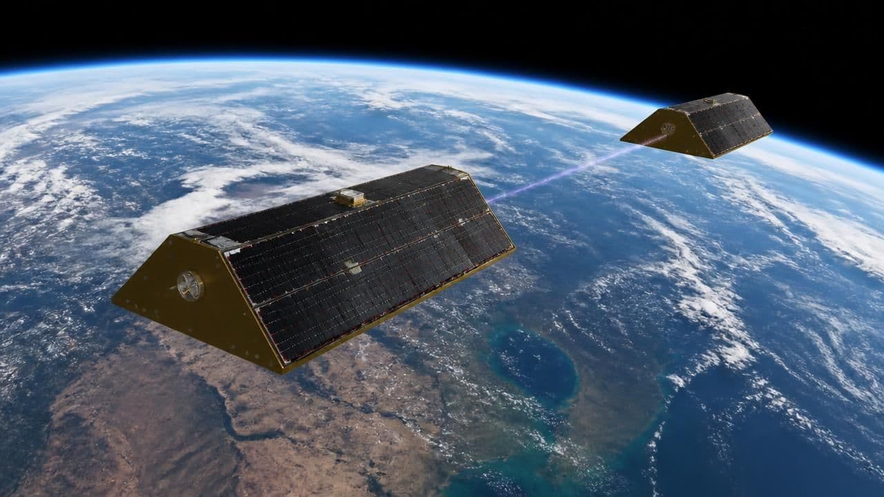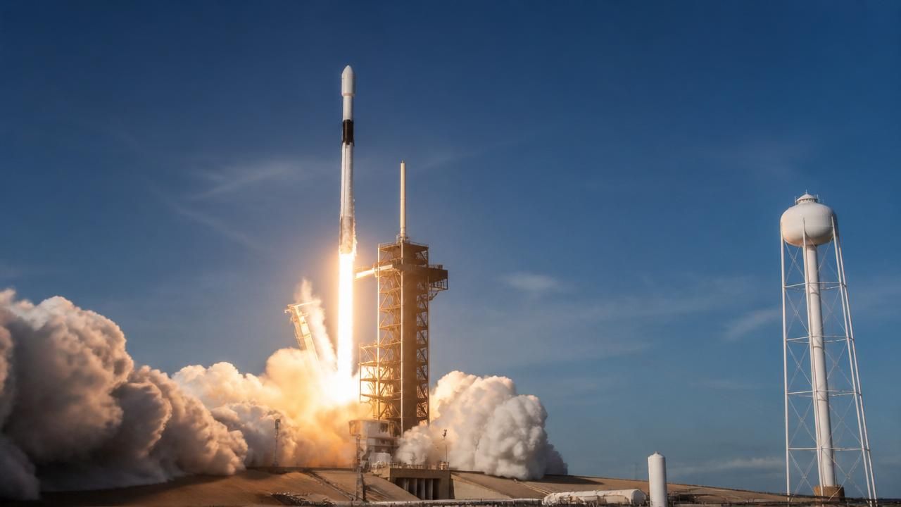
In a significant leap forward for wildfire management, the first three operational satellites of the Google-backed FireSat program successfully launched into orbit on July 7, 2026, aboard a SpaceX Falcon 9 rocket from Vandenberg Space Force Base in California. The launch comes as smoke from hundreds of wildfires across Canada and the United States chokes the air, underscoring the urgent need for advanced detection systems. The FireSat constellation, managed by the nonprofit Earth Fire Alliance, marks the first satellite network purpose-built for detecting wildfires, with the ability to spot even small fires that other satellites often miss.
How FireSat Works
The three microsatellites, designed by California-based Muon Space, will undergo a three-month testing period before becoming fully operational. Once active, they will provide data to fire agencies while covering every fire-prone region on Earth at least twice per day. The satellites are equipped with advanced sensors capable of detecting fires as small as a backyard barbecue, a dramatic improvement over existing satellites that typically only spot larger blazes. This early detection is crucial for allowing firefighters to respond before fires escalate into catastrophic events.
Key Financial Backers
The FireSat project has received substantial financial support from major philanthropic and corporate donors. Google has contributed over $15 million to support initial deployment, while the Bezos Earth Fund committed $26 million. Other backers include the Gordon and Betty Moore Foundation and the Minderoo Foundation. The total investment reflects a growing recognition of the role satellite technology can play in combating climate change-fueled wildfires.
Context and Significance
Wildfires have become increasingly destructive in recent years, driven by drought, heatwaves, and human activity. In 2025 alone, wildfires in the US and Canada burned millions of acres, causing billions of dollars in damage and displacing thousands of people. Traditional detection methods rely on ground reports, aircraft, and existing satellites that often have low resolution or infrequent revisits. FireSat aims to fill this gap by providing near-real-time, high-resolution data directly to fire agencies.
“This is a game-changer for wildfire detection,” said a spokesperson for the Earth Fire Alliance. “For the first time, we’ll have a constellation of satellites watching for fires 24/7, able to detect small ignitions before they become uncontrollable.”
Differing Perspectives
While the launch has been widely celebrated, some experts caution that satellite detection is only one piece of the puzzle. Firefighting resources, land management practices, and climate change mitigation remain critical. Others point out that the constellation’s current coverage—limited to the US, Australia, and Europe initially—may leave other fire-prone regions, such as parts of Africa and South America, underserved. The Earth Fire Alliance has stated plans to expand coverage globally in future phases.
Parallels in Popular Culture
In a poignant twist, actor Milo Ventimiglia, star of the TV series This Is Us, recently choked back tears while viewing security camera footage of his own home burning down in the 2025 wildfires. The incident drew eerie parallels to his character’s storyline in the show, which featured a house fire. While not directly related to FireSat, the moment highlighted the personal toll of wildfires and the emotional resonance of improved detection technology.
Technical Details and Launch
The Falcon 9 rocket lifted off at 10:30 AM PDT, carrying the three satellites to a sun-synchronous orbit approximately 550 kilometers above Earth. Each satellite weighs about 150 kilograms and is equipped with a multispectral imager capable of detecting thermal signatures associated with fires. The data will be processed using AI algorithms developed by Google, which can distinguish between smoke, clouds, and actual fires, reducing false alarms.
Timeline for Operations
- July 7, 2026: Launch and orbit insertion.
- July–October 2026: Testing and calibration phase.
- Late 2026: Initial operational capability, with data sharing to fire agencies.
- 2027 and beyond: Expansion of constellation to include additional satellites for global coverage.
Implications for the Future
The FireSat program represents a new paradigm in environmental monitoring, leveraging private-public partnerships to address a pressing global challenge. If successful, it could pave the way for similar constellations targeting other natural disasters, such as floods or earthquakes. For now, the focus remains on getting the first three satellites fully operational and proving their value in the field.
As smoke continues to drift across the continent, the launch offers a glimmer of hope that technology can help turn the tide against one of the most destructive consequences of climate change. The next few months will be critical in determining whether FireSat lives up to its promise as a “game-changing” tool for wildfire detection.