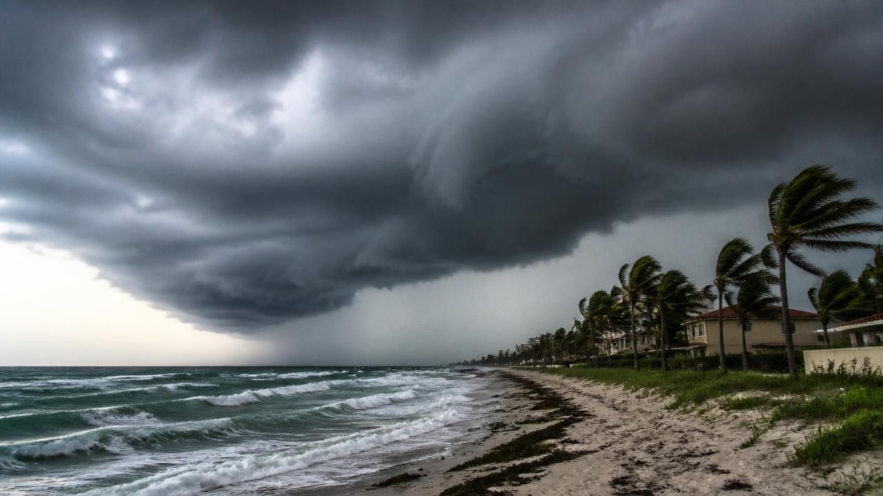
The storm that forecasters have been tracking across the Gulf of Mexico now has a name — Isaias — and a rapidly rising chance of becoming the Atlantic season's first hurricane, a system that could reach Category 2 strength with winds topping 110 miles per hour by the time it reaches the U.S. Gulf Coast.
Bloomberg meteorologist Craig Allen said the system will strengthen into a hurricane before it makes landfall, and warned that intensification could be significant in the final hours before the storm comes ashore on Friday.
"Tropical Storm Isaias will be a hurricane by the time it hits the US Gulf Coast sometime on Friday. This is the first Atlantic hurricane of the season. Winds could top 110 miles an hour." — Craig Allen, Bloomberg meteorologist, on "Bloomberg Surveillance"
That assessment, delivered on Bloomberg Television, set the tone for a week of coverage that spread rapidly across national wire services, regional newspapers and weather-focused aggregators — each framing the same meteorological threat for a different audience.
What we know — and what remains uncertain
Isaias organized over the warm waters of the Gulf and is forecast to intensify steadily as it tracks toward the U.S. coastline. A Category 1 designation is considered the baseline expectation; several outlets, including Yahoo News and The Sun, went further, describing a system surging toward Category 2 status with sustained winds above 110 mph.
Intensity forecasts this far out carry meaningful uncertainty. Small changes in wind shear, sea-surface temperatures and the storm's internal structure can shift a system by an entire category in either direction within 24 hours. That is precisely why so much of the coverage leaned on a familiar visual shorthand: the "spaghetti models" — overlapping computer projections that show a widening cone of possible tracks rather than a single definitive path.
Who is in the path
Local newsrooms in the Gannett network moved quickly to localize the threat, publishing impact guides for Florida markets including Jacksonville, Sarasota and Bradenton. Their framing was intensely practical — rainfall totals, wind timing, evacuation-zone questions — and mirrored the questions residents ask first: Will my county flood? When does the wind arrive? Do I need to leave?
- Gulf Coast landfall: Forecast timing centers on Friday, with hurricane conditions possible along the immediate coastline.
- Florida: Regional coverage focused on rain bands, gusty winds and the potential for localized flooding well ahead of the center's arrival.
- Inland and adjacent states: Impacts typically extend far beyond the landfall point, with heavy rain and tornado risk trailing the system.
How different outlets framed the same storm
The coverage split into distinct genres. Wire and business outlets — Bloomberg chief among them — treated Isaias as a market and infrastructure event, anchoring on wind speed and the timing of landfall. National aggregators such as MSN pushed headline alerts and tracker pages designed for constant refreshing. Regional USA Today network sites produced service journalism: what Sarasota and Bradenton can expect, how Jacksonville will be affected. And tabloid outlets like The Sun leaned into alarm, branding the system a "category 1 beast" and emphasizing "new hurricane threat confirmed in US."
One notable feature of the cycle was how many of those local pages were gated behind access restrictions, leaving readers with headlines but no details — a reminder of how unevenly life-safety information travels in a fragmented digital media market.
The money side: energy, insurance and supply chains
For financial markets, a Gulf hurricane is never just a weather story. The Gulf of Mexico hosts a substantial share of U.S. offshore crude oil and natural gas production, and operators routinely evacuate non-essential personnel and shut in output ahead of a storm — moves that can tighten energy markets and ripple through fuel prices.
Insurers, meanwhile, are watching the projected intensity closely. Even a modest Category 1 or 2 landfall can generate billions in claims when it strikes a densely populated coastline, and coastal property markets have grown more sensitive to catastrophe exposure in recent years. Reinsurance pricing, municipal budgets and the cost of homeowners' coverage in Florida all sit downstream of a forecast like this one.
What residents are being told
The practical advice converging across outlets was consistent: finalize a plan now, before the storm's outer bands arrive.
- Fuel and power: Fill vehicles and generators early; charge phones and battery banks.
- Water and food: Stock at least three days of water and non-perishable food per person.
- Documents and medication: Secure identification, insurance paperwork and a week of prescriptions in waterproof containers.
- Property: Clear gutters and drains, secure or store outdoor furniture, and photograph possessions for insurance purposes.
- Evacuation: Know your zone and route before an order is issued — not after.
What to watch next
Three signals will determine how this story develops. First, whether Isaias undergoes rapid intensification in the 24 to 36 hours before landfall. Second, whether the forecast track shifts east or west — a change of even 50 miles can move the worst surge from one coastal community to another. Third, whether energy operators begin announcing shut-ins, which would turn a weather event into a financial one.
For now, the message from forecasters is one of preparation rather than panic. The storm is likely to be the season's first hurricane; the question is not whether the Gulf Coast should be watching, but how hard, and for how long.