The Geocenter Is Not Fixed
Earth's center of mass — the point around which the planet balances — is not stationary. It drifts by a few millimeters as enormous quantities of water, ice, and even air migrate across the globe with the seasons. NASA scientists have refined a method to track these tiny swings with greater precision, using laser-ranging satellites, GPS data, and measurements of how water and ice deform Earth's crust. The work, reported by Science Daily, underscores that the "geocenter" is a dynamic feature of a restless planet.
At stake is the reference point that underlies much of modern geodesy. Trillions of tons of water shift every year — through rainfall, snowmelt, groundwater depletion, and ocean circulation — and that mass redistribution tugs at the geocenter. MSN headlines have framed the phenomenon in dramatic terms, warning that Earth's centre of mass is "MOVING" and could "wreak havoc on navigation systems." The reality is more nuanced: the motion is subtle, but its implications for precision navigation and Earth observation are real.
Why the Center Moves
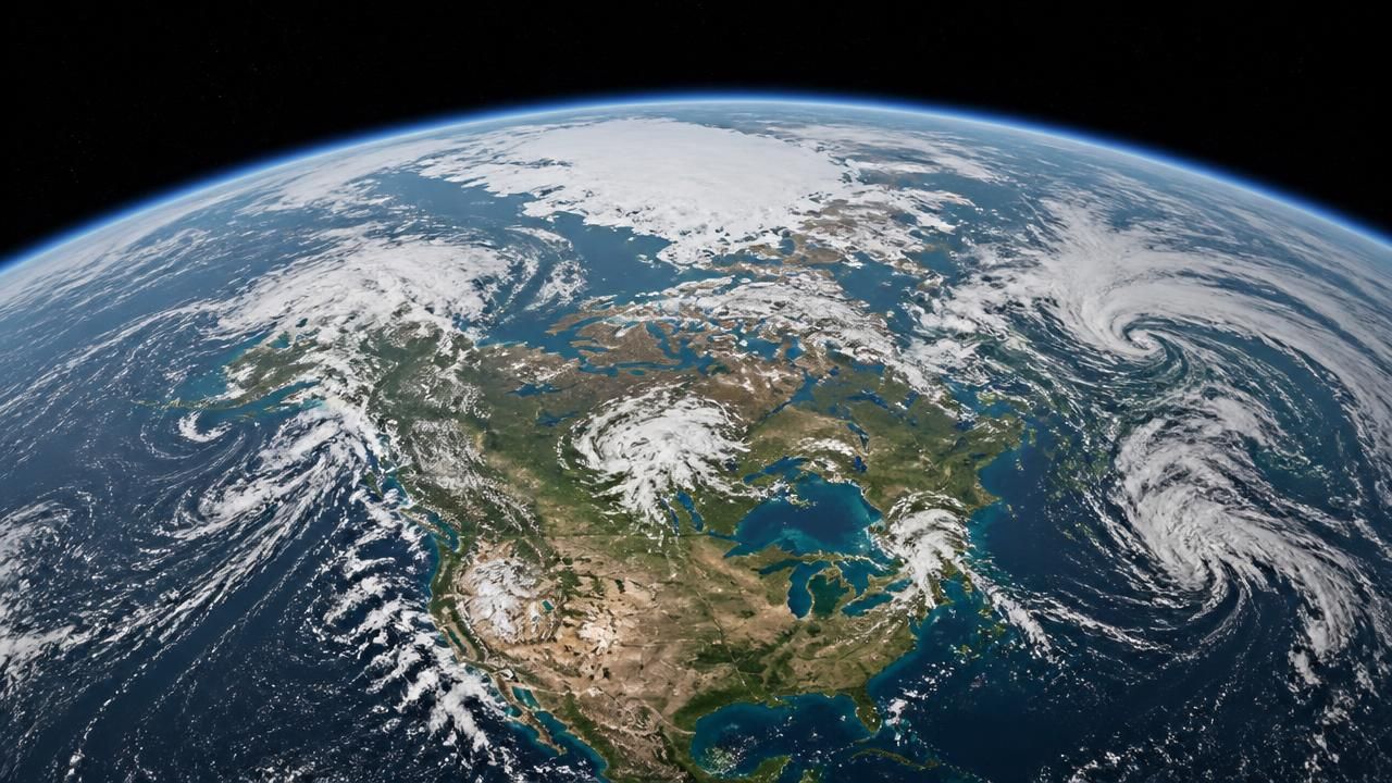
Earth is dynamic. When monsoon rains soak South Asia, when snow accumulates across Siberia, when ice sheets melt in Greenland, and when ocean currents transport heat and salt, mass moves. Because the geocenter is defined by the distribution of that mass, it shifts in response. The atmosphere adds another layer: seasonal changes in air pressure and wind redistribute mass as well.
The result is a seasonal wobble of just a few millimeters. Over longer periods, climate change can amplify the trend. Melting glaciers and ice sheets transfer water from land to oceans, altering the loading on Earth's crust and changing the geocenter's path. Scientists use measurements of crustal deformation — the way the solid Earth flexes under the weight of water and ice — to model these effects.
How NASA Measures It
NASA's improved approach combines several techniques. Satellite laser ranging bounces lasers off reflectors on orbiting satellites to measure their positions with millimeter accuracy. GPS data from ground stations track how the crust moves. Hydrological and ice models estimate how surface mass loads deform the crust. Together, these data allow scientists to separate the geocenter's motion from other geophysical signals.
The effort builds on decades of satellite geodesy. Wikinews noted the launch of Jason-2, a satellite designed to measure sea levels, as part of that legacy. Jason-2, launched in 2008 as a joint mission involving NASA, CNES, EUMETSAT, and NOAA, continued the work of Topex/Poseidon and Jason-1. By precisely measuring sea surface height, Jason-2 helped scientists track sea-level rise and calibrate the global reference frame that geocenter studies rely on.
Navigation: Havoc or Housekeeping?
The MSN headlines raise the specter of navigation chaos. In practice, geocenter motion is a known challenge for high-precision applications, not a sudden threat to everyday GPS. Satellite navigation systems rely on a terrestrial reference frame whose origin should coincide with Earth's center of mass. If the geocenter shifts and the frame is not updated, satellite orbits, station coordinates, and timing can acquire small errors. For consumer devices, those errors are negligible. For scientists tracking sea-level rise, measuring tectonic plates, or guiding spacecraft, millimeter-level corrections are essential.
"Earth's centre of mass is MOVING, NASA warns - and it could wreak havoc on navigation systems," one MSN headline declared.
That framing is sensational, but it points to a serious issue: reference frames that underpin modern navigation and Earth observation must account for a moving geocenter. Ignoring it would not cause immediate havoc, but it would degrade the precision on which many scientific and operational systems depend.
Broader Implications
The geocenter's motion matters for climate monitoring. As ice melts and sea levels rise, the redistribution of mass changes Earth's rotation and gravity field. Jason-2's sea-level measurements help scientists separate ocean changes from vertical land motion. Geocenter corrections are also crucial for interpreting satellite altimetry and gravity data.
For space missions, precise orbit determination depends on knowing the geocenter's position. The International Terrestrial Reference Frame, which defines coordinates on Earth, is tied to the geocenter. Regular updates keep GPS, Earth-observing satellites, and even interplanetary navigation aligned.
The View From Different Outlets
Coverage reflects different priorities. Science Daily emphasized the measurement breakthrough: NASA's ability to track tiny seasonal swings using laser ranging, GPS, and crustal deformation. Wikinews highlighted Jason-2's launch to measure sea levels, placing the geocenter work in the context of ocean monitoring. MSN ran headlines about trillions of tons of shifting water and warned of navigation havoc. Together, they show how the same finding can be framed as a technical achievement, a climate data point, or a looming disruption.
The most accurate take is that Earth's center of mass is moving — always has, always will — and that measuring it better is a triumph of modern geodesy. Climate change may make the motion more pronounced, and navigation systems will need to keep pace. But the threat is not a sudden loss of GPS; it is the quiet, millimeter-scale drift that demands constant attention from scientists and engineers.
As NASA and its partners continue to refine their measurements, the geocenter will remain a moving target — one that tells us as much about Earth's water, ice, and air as it does about the planet's deep interior.