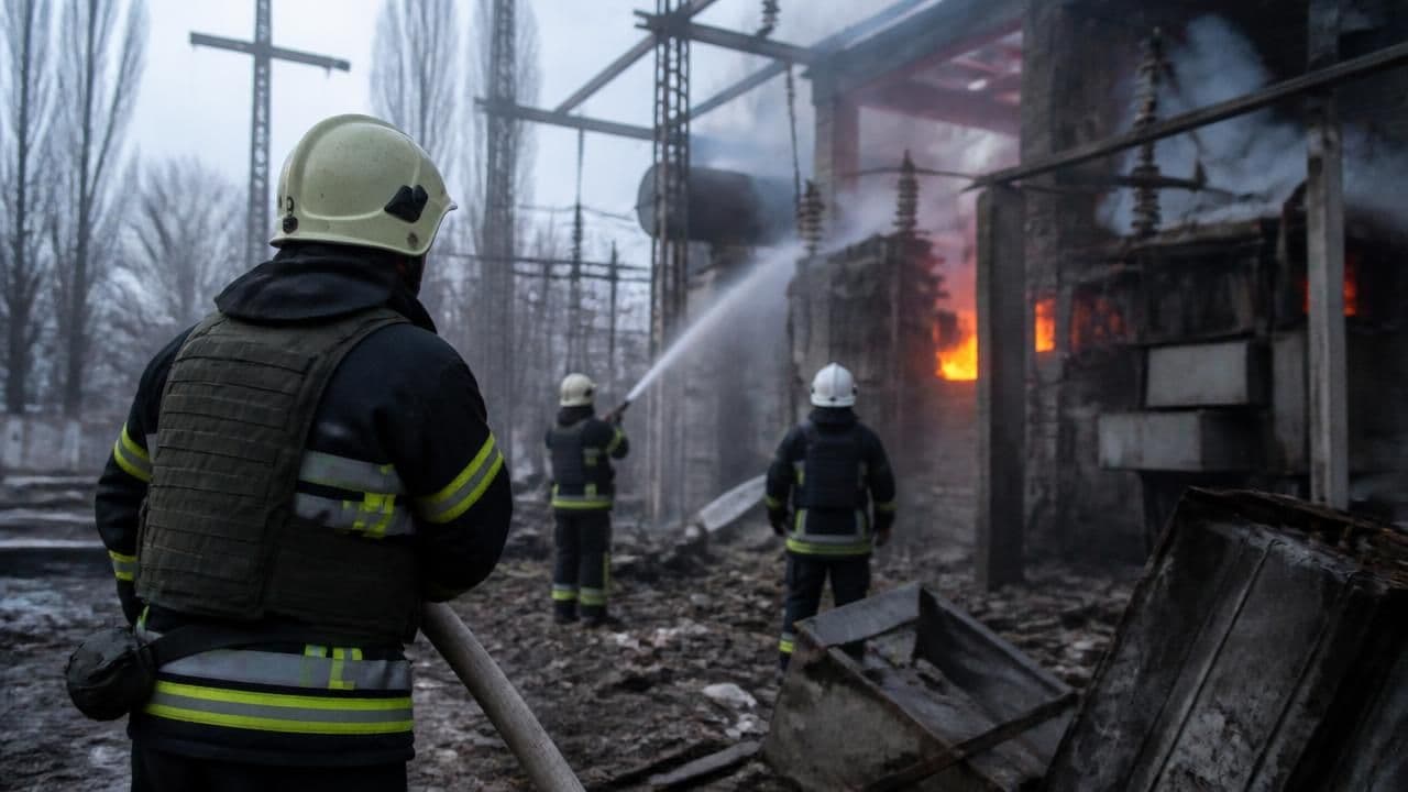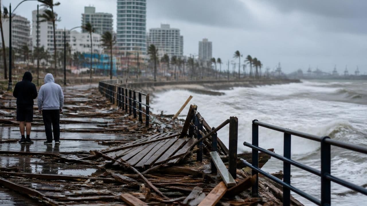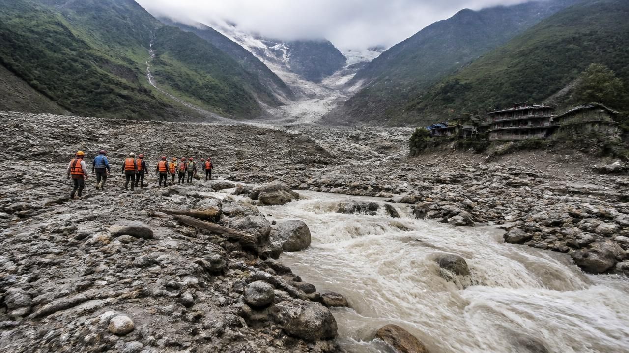
In the aftermath of a devastating flash flood that swept through the Himalayan valleys, authorities in Nepal and China have issued fresh warnings about unstable lakes forming in the mountains. Rescuers are now battling treacherous conditions to search for survivors, even as the landscape itself has become a source of new danger.
The Cascade of Destruction
The flood, which tore through river valleys along the Nepal-China border, left rivers choked with rocks, ice, and mud. What began as a sudden surge of water has evolved into a more complex and enduring threat. High in the Himalayas, the same debris has formed a series of impoundments, creating lakes that are now dammed by loose rock and ice. These natural dams are extremely unstable and could burst with little or no warning.
According to international mountain hazard experts, the initial flash flood likely originated from a glacial lake outburst flood (GLOF), a phenomenon where a glacial lake suddenly releases its water due to a breach in its moraine dam. Such events can release millions of cubic meters of water in a matter of hours, carrying enormous volumes of sediment and debris downstream.
Warning Systems Overwhelmed
The rapid speed of the flash flood has raised hard questions about the effectiveness of existing early warning systems. Experts note that the speed of the flood likely overwhelmed Nepal's warning infrastructure, which is primarily designed to detect slower-moving inundations. "The event unfolded in a matter of minutes," said a hydrologist familiar with the rescue operations. "Even if the warning was generated, there was almost no time for downstream communities to evacuate."
“We are dealing with a cascading hazard environment. The flood is just the first act; the instability it leaves behind poses dangers for weeks and months to come.”
Nepal and China have both been investing in hydrometeorological monitoring, including automated weather stations and river gauges. However, the sheer complexity of the high-altitude terrain and the rapid formation of these lakes makes prediction extremely difficult. In many cases, the lakes are too small or too remote to be captured by satellite imagery, and ground-based monitoring is sparse.
The New Front: Unstable Lakes
Fresh warnings have centered on a number of newly emerging lakes that are visible from aerial surveys. While not as large as the glacial lakes that caused the initial flood, these debris-dammed lakes are dangerously positioned along steep valleys. A sudden breach could send another torrent of water and sediment into the same communities already hit by the disaster.
Officials in both countries have urged people living downstream to remain alert and to follow evacuation orders promptly. Readiness committees are being established in vulnerable areas, and temporary monitoring has been increased.
Rescue Efforts Under Extreme Conditions
Rescue teams are scouring the mountains on foot and by helicopter, searching for those still missing. The challenges are immense: landslides have severed road access, communication lines are down, and the weather is unpredictable. Mountaineering Sherpas and paramilitary forces are among those assisting in the search.
- Multiple helicopters have been deployed for aerial reconnaissance and rescue.
- Medical teams are on standby at staging posts in both Nepal and China.
- International agencies are offering support, including specialized flood-mapping units.
The terrain itself is a hazard. The rocks and ice that now clog the river channels turn walking into a dangerous exercise, and the region remains prone to aftershocks and additional landslides.
Framing the Crisis
The coverage of this disaster has varied by outlet. Financial news services have focused on the potential impact on regional infrastructure and supply chains, while international newspapers have highlighted the systemic failures of disaster preparedness. Broadcast media has emphasized the human drama of the rescue effort. What remains consistent is the recognition that the Himalayan region is entering a dangerously volatile period.
A Growing Threat in a Warming World
The Himalayas are particularly vulnerable to glacial lake outburst floods. As global temperatures rise, glaciers are retreating rapidly, leaving behind large bodies of water that are held in place only by continuous permafrost and moraines. For decades, scientists have cataloged hundreds of such lakes in Nepal, Bhutan, and the Tibetan Autonomous Region.
In Nepal alone, studies have identified more than 2,000 glacial lakes, with over two dozen considered potentially dangerous. Several catastrophic GLOFs have occurred in the past, including the 1985 Dig Tsho outburst that destroyed a hydroelectric plant and caused widespread destruction in the Khumbu region. More recently, the 2013 flash floods in Uttarakhand, India, also highlighted the lethal combination of extreme rainfall and glacial lake instability.
What Comes Next?
This latest disaster is a sobering reminder that the mountains are not static. As the climate continues to change, the frequency and magnitude of such events are likely to increase. Scientists argue that global efforts to reduce greenhouse gas emissions are essential, but that adaptation must also be a priority. This includes comprehensive mapping of all glacial lakes, real-time monitoring systems, and locally tailored early warning protocols that can reach remote households in minutes.
For the communities in the path of the current floods, the immediate concern is survival. The unstable lakes are a stark symbol of how the very forces that shape the Himalayas are also the ones that now threaten its people.
As rescue operations continue, the message from experts is clear: the landscape is unpredictable, and preparation must be constant.