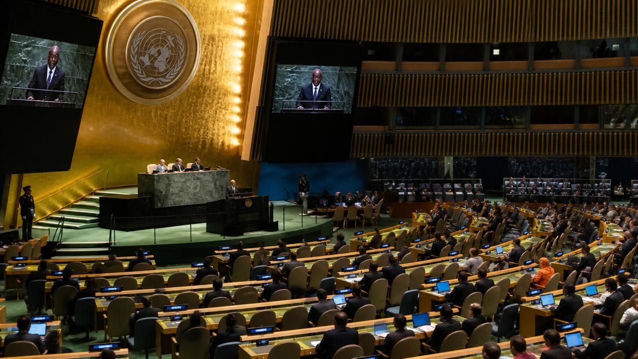
The United Nations General Assembly is poised to vote on Friday on a resolution that could fundamentally change how the world represents itself. Sponsored by the West African nation of Togo, the measure calls for the formal phase-out of the Mercator projection—the traditional map that has for centuries made Africa appear comparable in size to Greenland, despite Africa being more than 14 times larger. The resolution, which has the backing of all 54 other African Union member states, asks the international body to adopt a map that more accurately displays the continent’s true scale.
Robert Dussey, Togo’s foreign affairs minister, confirmed the resolution’s sponsorship and noted the widespread support among African nations, though he did not specify the total number of cosponsors. The vote is expected to be closely watched by cartographers, educators, and African leaders who see the issue as both symbolic and practical. Africa’s true landmass is approximately 30.3 million square kilometers, making it the second-largest continent, yet on most Mercator maps, it shrinks visually to a size roughly equal to that of Greenland, which occupies only 2.1 million square kilometers.
The Cartographic Controversy
The Mercator projection was created in 1569 by Flemish geographer Gerardus Mercator as a navigation tool. Its genius lies in preserving angles and straight lines of constant bearing, which made it invaluable for sailors crossing oceans. However, those advantages come at a severe cost: the projection inflates landmasses as they move away from the equator. As a result, Europe, North America, and Russia appear far larger than their actual proportions relative to Africa, South America, and Asia.
Critics have long argued that the continued use of Mercator in world maps is not just inaccurate but politically harmful. In addition to diminishing Africa’s perceived size, it also creates an exaggerated sense of northern hemisphere dominance, a view many see as a lingering vestige of colonial-era worldviews.
“The maps we use are not neutral. The Mercator projection embodies centuries of skewed perspective, and it is time for the international community to correct that distortion once and for all,” said Dussey, addressing reporters ahead of the vote.
Why This Map, Why Now?
The push to replace the Mercator projection is not new, but it has gained momentum in recent years amid broader conversations about representation and decolonization. In 2017, Boston Public Schools became the first major U.S. school district to adopt the Gall-Peters projection, an equal-area map that accurately depicts relative sizes at the expense of shape, in an attempt to provide students with a more truthful geographic perspective.
The Gall-Peters projection, popularized by German historian Arno Peters in the 1970s, is often presented as the standard alternative to Mercator. It trades shape distortion for area accuracy, making Africa’s true bulk unmistakable. Yet even that projection has its own controversies, as it also distorts shapes heavily. Cartographers note that no flat map is flawless; every projection involves trade-offs. The core question is what a map is meant to represent—angular accuracy, distance, area, or shape.
Expert Perspectives
“The Mercator projection remains a useful tool for certain maritime and aviation uses,” noted Dr. James Fielding, a geographer at the London School of Economics. “But its continued use as a general-purpose world map in textbooks and official settings is deeply misleading. The resolution from Togo is timely because it forces a global institution to align its practices with modern cartographic understanding.”
Fielding and others point out that the debate is less about technical mapping choices and more about how nations are rendered visible on the international stage. For many African nations, adopting an equal-area map is a matter of fairness—acknowledging the continent’s massive geographic presence, which translates into political and psychological weight.
Implications for the UN and Beyond
Should the resolution pass, the UN would be expected to phase out the Mercator map in its official documents, flags, and displays at headquarters in New York. The immediate practical impact may be limited, but the symbolic signal would be significant. The move could also influence educational standards around the globe, as many school maps still rely on the distorted projection.
According to a 2021 survey by the International Geographic Union, more than 70% of world maps used in Western classrooms feature the Mercator or similar cylindrical projections. Educational psychologists have long noted that repeated exposure to distorted maps shapes unconscious biases, making people underestimate the size of Africa and other equatorial regions.
Historical Parallels and Continuing Debates
The Togo resolution echoes earlier attempts to reform global cartography. In 2018, the UN debated a proposal from the African Union to develop a common map covering the entire continent—an idea that has since influenced ongoing efforts at the African Union’s cartographic and remote sensing unit. The current initiative, however, is broader: it aims to change the very base map on which world geopolitics is imagined.
While the resolution is expected to receive overwhelming support from African nations, it is uncertain whether the General Assembly will adopt it unanimously or with consensus. A senior UN official, speaking on condition of anonymity, indicated that some European and North American delegates have expressed concerns about practicality, arguing that no single alternative projection universally satisfies all needs.
Advocates counter that the UN already makes extensive use of thematic maps and that a shift to equal-area representations would not hinder the organization’s work. They also note that many digital mapping tools, including Google Maps, use a modified projection but still display flags and national shapes in ways that can reinforce old errors.
Beyond the Vote
Togo’s initiative is likely to pass, but its ultimate success will depend on implementation. The resolution calls on UN agencies to develop a transitional plan to adopt a new map over the coming years, potentially using an equal-area projection for official materials printed for public distribution.
“This is not about erasing the past,” said Dussey. “It is about ensuring that future generations grow up with a correct understanding of Africa—not because Africa deserves a favor, but because truth matters.”
The vote on Friday is a crucial milestone, reminding the world that even the most familiar maps are not immune to reinvention. As cartographic research advances and global politics increasingly demand equitable representation, the distorted world of the Mercator map may finally be rolled up and shelved.